NCR Pollution Micro-Zones: Why Gurugram Sector 56 Is Not the Same as Sector 47
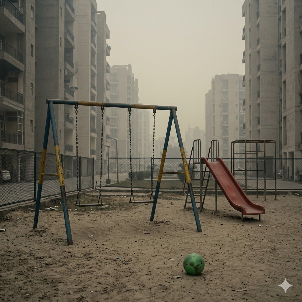
NCR pollution discussion treats “Delhi” or “Gurugram” as single units. Real measurement data shows that a 5 km move within a city can change your daily PM2.5 exposure by 20–40 µg/m³. The variation is driven by proximity to construction zones, distance from major roads, ridge-and-valley topography, and adjacency to industrial belts. For someone choosing a home, a school, or an office location in NCR, the micro-zone matters as much as the overall city. This page covers the variation, the patterns, and how to read it.
Key numbers
- 30–50 µg/m³ — typical PM2.5 differential between cleanest and most-polluted Gurugram sectors on the same day
- 2–4 km — typical “exposure shadow” zone around major construction sites
- 5–15 km — average pollution gradient distance from city centre to Aravalli ridge in Gurugram
- 13 — Delhi’s officially identified pollution hotspots
- CPCB + IQAir + private — three data sources giving slightly different readings per location
What creates pollution variation within a city
Six factors:
1. Distance from major roads. Vehicle exhaust dilutes with distance. PM2.5 at 50 m from a major highway is typically 30–60% higher than at 500 m. NCR’s freight corridors (NH-1, NH-8, MG Road, Mehrauli-Gurgaon Road) produce strong gradients.
2. Active construction proximity. Within 2–4 km of a major active construction site, PM10 (and to a lesser extent PM2.5) sits substantially higher. Gurugram Sectors 80–115 have been in active construction for years.
3. Industrial cluster proximity. Faridabad’s industrial sectors, Ghaziabad’s industrial belt, Bhiwadi (Rajasthan) — all produce localised pollution shadows extending into adjacent residential zones.
4. Topography. Aravalli ridge in Gurugram acts as a natural barrier. Sectors on the ridge side (Sectors 56, 57, 58, Golf Course Extension, parts of Sohna Road) often have better dispersion than sectors in the plain (Sectors 1–30, Cyber City, MG Road area).
5. Wind direction. Northwest winter winds carry stubble smoke and Delhi pollution into Gurugram from the north. Sectors with windward exposure (Sectors 14, 15, 23) often measure higher in winter than southward sectors (60+ range).
6. Brick-kiln cluster proximity. The brick-kiln belt south of Gurugram (Manesar, Bhiwadi, Sohna direction) emits during firing season (October–June). Sectors closer to this belt — paradoxically the “cleaner” Aravalli side — get more brick-kiln drift.
Gurugram sector patterns
A rough ranking of Gurugram sectors by typical air quality (most-polluted to cleanest, based on continuous monitoring station data and IQAir aggregates):
Higher PM2.5 (typically 80–120 µg/m³ annual): - Cyber City / DLF Phase 1–4 (high vehicle density + adjacent construction) - Sectors 14–25 (older sectors, dense traffic, close to MG Road) - Industrial Model Township areas - Sohna Road dust corridor (construction-heavy)
Mid PM2.5 (typically 70–90 µg/m³ annual): - Sectors 50–55 (residential mid-density, moderate construction nearby) - Sectors 70–80 - Most central residential areas
Lower PM2.5 (typically 60–80 µg/m³ annual): - Sectors 56, 57, 58 (Aravalli ridge proximity) - Golf Course Extension Road - DLF Phase 5 (Aralias, Magnolias) — Aravalli view side - Manesar IMT-edge sectors (when wind directions favourable) - Sushant Lok area
All numbers still 12–25× the WHO guideline. Cleanest Gurugram is not clean by any global standard; it’s only relatively cleaner than dirtier Gurugram.
The Aravalli ridge effect
Sectors 56, 57, 58 sit along the Aravalli foothills on the southern edge of Gurugram. The ridge does three things:
1. Provides physical barrier to wind. Northwest winter winds carrying Delhi and stubble pollution are partially blocked by the ridge. Sectors on the ridge side see lower drift from the north.
2. Better vertical dispersion. The ridge creates orographic effects that elevate the boundary layer locally, allowing pollutants to disperse vertically more effectively than in the flat Gurugram plain.
3. Greener surrounding. The Aravalli-side sectors have more tree cover, less unpaved surface. Surface emission is lower.
The trade-off: brick kilns south of Gurugram (toward Manesar, Bhiwadi, Pataudi) emit into the southern wind regime, and Aravalli-side sectors can occasionally see brick-kiln drift. Net effect is still better air quality than central Gurugram on most days.
The construction hotspot pattern
Dwarka Expressway, Sectors 80–115, parts of Sector 70–79 have been in continuous active construction for the past 5–8 years. PM10 in these sectors during dry months sits 30–80% higher than surrounding residential areas.
The “exposure shadow” of an active construction site extends roughly 2–4 km downwind. A buyer choosing a home should consider not just the construction status of their own building but the surrounding 5 km.
Construction activity will gradually complete (5–10 year window for current major projects), but the pattern is replicating elsewhere — Gurugram is in continuous expansion, and “edge sectors” with active construction shift outward over the years.
The road-distance gradient
A specific measurement worth understanding: NCR vehicle exhaust creates a sharp gradient near major roads.
- 0–100 m from a major road: PM2.5 typically 20–40% higher than urban background
- 100–500 m: Steep decline; PM2.5 returns toward urban average
- 500–1,500 m: Approaching city-wide background
- Above 1,500 m: Largely urban background, with isolated effects from local sources
For aqi0 site surveys, the road-distance question often dominates: a top-floor apartment 50 m from MG Road faces dramatically different infiltration loads than a similar apartment 800 m back.
Where data comes from
Three sources, with different strengths:
1. CPCB / DPCC continuous monitoring stations. ~25 stations across NCR; high-quality reference-grade monitors. Provide official AQI numbers. Coverage gaps in some sectors.
2. IQAir / aqi.in low-cost sensor networks. Hundreds of monitors at homes, schools, businesses. Higher density coverage. Individual sensors can drift; aggregated data is reliable.
3. Private installations (aqi0 + similar). Site-survey measurements before installation. Hyper-local single-point data; not part of any public database.
Combining all three gives the most reliable picture. For sector-level decisions, the IQAir density advantage usually beats CPCB’s accuracy advantage.
What this means for housing and school decisions
Three practical implications:
1. Sector choice matters. Within Gurugram, the difference between Sector 14 (high density, central) and Sector 56 (Aravalli edge) can be 20–30 µg/m³ on annual average. Over years of exposure, this matters.
2. Road-distance matters more than sector. A residential apartment 30 m from a busy six-lane road, regardless of sector, has worse air than a midblock home in the same sector. Site-specific factors trump sector averages.
3. School site selection matters. Schools located on major roads expose children to peak-traffic-hour PM2.5 during morning drop-off. Schools set back 200–500 m from main roads have meaningfully better air. Parents researching schools should add this to their evaluation criteria.
What aqi0 does about micro-zones
For aqi0 customers, the indoor air quality is decoupled from the micro-zone. An aqi0 system holds indoor PM2.5 under 10 µg/m³ regardless of whether you’re in Sector 14 or Sector 56, 50 m or 1 km from the highway. The system does more “work” in higher-pollution sectors but the indoor outcome is the same.
For outdoor time — walks, school commutes, balcony use — the micro-zone matters. Choosing a home or school within NCR with attention to road distance and construction proximity reduces the unavoidable outdoor exposure window.
FAQ
Is there an “AQI map” of Gurugram? IQAir and aqi.in offer real-time sector-level AQI displays. Not every sector has a monitor; nearest-neighbour interpolation fills gaps.
Does the air change at night? Yes. The overnight inversion (3–6 AM) elevates concentrations across all sectors, but the relative ranking between sectors persists.
Are gated communities cleaner? Slightly — restricted vehicle entry, more landscape, often higher-quality construction reducing dust. The differential is real but modest (2–10 µg/m³ vs. immediate surroundings).
Should I avoid Cyber City? For air quality alone, yes. For job/commute reasons, this is a trade-off most people accept. Indoor air protection 24/7 mitigates the difference.
Is the Aravalli ridge protected enough to stay clean? The Aravallis face ongoing illegal mining and encroachment. Protection has been partial. The ridge’s dispersion benefit remains as long as the ridge itself remains.